Previous Photo
Next Photo
| home | photos | African Photos Map | world view | search |
|
Kruger Thumbnails
Previous Photo |
|
Next Photo |
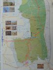
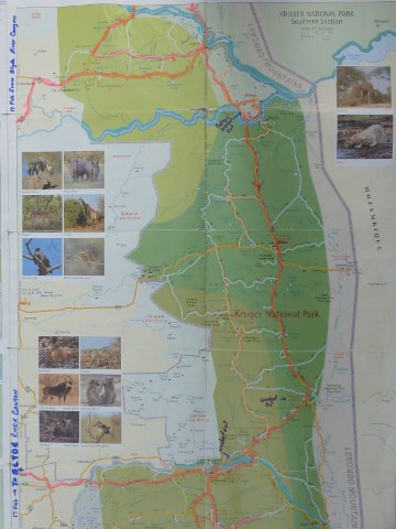
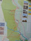
This map shows the route by which we departed through Phabeni Gate towards Blyde River Canyon and returned the same day through Phalaborwa Gate to the Letaba Camp. From Letaba we proceeded north to the top of the park and then returned all the way back south through the park. |